Concerned Wrightwood homeowners have received a little more information about the status of the fight against the Bridge Fire and what’s keeping them from getting more details on when evacuees can return to their homes.
At a community meeting Saturday night, officials said they currently do not know when evacuated Wrightwood residents will be able to return to their homes. Evacuation orders have been put in place for the mountain community as crews continue their battle against the relentless fire.
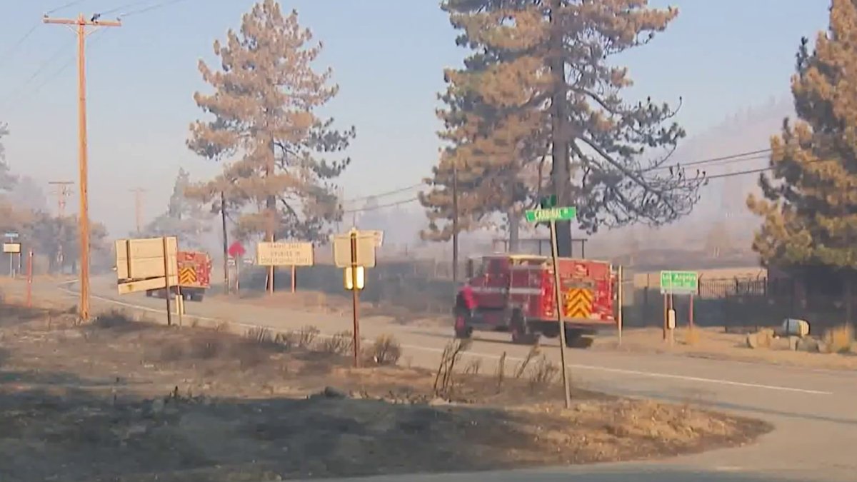
At more than 54,000 acres, the Bridge Fire holds the reins as Southern California’s largest active wildfire, burning in Los Angeles and San Bernardino counties. It is now 9% contained.
We need to know that it is safe for you to return home, an official said at the community meeting.
What’s happening is that when the fire is burning above us, as all that is burning, it’s going to start spreading downhill. So, there’s a lot of stuff that’s falling, even as crews are working there, there’s trees falling, there’s rocks falling, there’s also a lot of burning debris that’s falling and setting the vegetation around the houses on fire.
Fire crews are working to establish containment lines as the Bridge Fire grows to more than 50,000 acres, destroying multiple single-family homes along the way.
Meanwhile, residents have been expressing their gratitude to first responders in the form of posters displayed around the community.
“A big thank you for all the hard work and dedication. We are so grateful to all the firefighters,” said Wrightwood resident Chris Kasten.
Since the fire affected two counties, two assessment teams will visit Wrightwood and the surrounding area to view the damage and consider how to assist those who have been displaced. As of Saturday, at least 19 structures have been destroyed in the fire, according to Cal Fire.
evacuation orders
- the entire Wrightwood community
- Highway 138 south to Lone Pine Canyon and Highway 2 east to Lone Pine Canyon Road;
- Lone Pine Canyon from the community of Wrightwood to Highway 138/Lone Pine Canyon Road south to the forest;
- the East Fork communities of Camp Williams Resort (coffee shop, mobile home park, campground) and River Community (near the resort); and
- Mt. Baldy Road, North Mountain Avenue y Shinn Roads desde San Antonio Heights hasta Wrightwood y al este hasta Cucamonga Peak.
- A mandatory evacuation order that had been in effect for the area from Highway 18 south to Highway 138 and Beekley Road west to the Los Angeles County line was downgraded to a warning.
Evacuation warnings
- Phelan from Highway 138 east to Baldy Mesa Road and Phelan Road south to Sayle Road;
- San Antonio Heights and Upland from the hills south to 23rd Street;
- Pinon Hills from Wrightwood north to Highway 138 and Lebec Road west to Los Angeles County.
Evacuation warnings were lifted Friday in the communities of Baldwin Lake and Lake Williams from Highway 38 north to Highway 18 and Baldwin Lake East, and in the area of Phelan Road south to Forest Route 3N24 and Baldy Mesa Road west to Tumbleweed Road.
Evacuation centers
- Pomona Fairplex: 601 W McKinley Ave., Pomona (enter through Door 3, corner of McKinley and White);
- Hacienda Heights Community Center, 1234 Valencia Ave.;
- Jessie Turner Center, 15556 Summit Ave., en Fontana.
Animal evacuation centers
- Palmdale Animal Care Center (small animals): 38550 Sierra Highway, Palmdale;
- Lancaster Animal Care Center (small animals): 5210 W. Ave. I, Lancaster;
- Antelope Valley Fairgrounds (large animals): 2551 W. Ave. H, Lancaster (call 562-706-8581 before arriving);
- Devore Animal Shelter (pets/livestock): 19777 Shelter Way, San Bernardino (call 909-386-9820 or after hours 800-472-5609).
Road closures
- SR-138 desde Lone Pine Canyon Road hasta Beekley Road;
- SR-2 closed from Big Pines to SR-138;
- Big Pines Highway;
- Big Rock Creek Road;
- San Gabriel Canyon y East Fork del ro San Gabriel;
- Highway 39;
- East Fork Road;
- Glendora Ridge Road;
- Glendora Mountain Road; y
- Mount Baldy Road en la interseccin de Shinn Road
Cal Fire officials estimated the fire had destroyed 19 residential, commercial and other structures and damaged six others. However, more than 11,000 structures remained in danger as of Saturday.
No significant injuries were reported.